Preserving the rich historical heritage of the United Kingdom is of paramount importance, and aerial imagery has emerged as a powerful tool in heritage preservation and archaeological studies. By capturing detailed aerial photographs and employing advanced imaging technologies, researchers and preservationists gain unprecedented insights into ancient sites, landscapes, and cultural heritage. This article explores the utilization of aerial imagery in the United Kingdom for heritage preservation, archaeological surveys, and the valuable contributions it makes to our understanding of the past.
Discovering Hidden Landscapes:
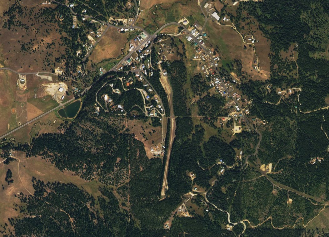
Aerial imagery unveils hidden landscapes and archaeological features that may be invisible from ground level. Utilizing high-resolution aerial photographs, LIDAR (Light Detection and Ranging) data, or multispectral imagery, researchers can identify subtle variations in topography, vegetation patterns, and soil marks that signify buried archaeological sites. These discoveries help expand our knowledge of ancient settlements, fortifications, burial mounds, and other significant features that may have been lost or forgotten over time.
Site Prospection and Survey:
Aerial imagery plays a crucial role in site prospection and surveying, enabling researchers to identify potential archaeological sites and plan targeted excavations. By analyzing aerial photographs, researchers can detect crop marks, soil marks, and shadow patterns that indicate the presence of buried structures or archaeological features. These surveys provide valuable information for understanding settlement patterns, historical landscapes, and ancient land use practices, guiding excavation efforts and shedding light on hidden aspects of the past.
Landscape Analysis and Contextualization:
Aerial imagery facilitates landscape analysis and contextualization of archaeological sites within their broader surroundings. By examining aerial photographs and LIDAR data, researchers can trace ancient trade routes, identify settlement patterns, and understand the interrelationships between sites. Aerial imagery helps reconstruct the historical environment, enabling researchers to interpret the social, economic, and cultural context in which ancient societies thrived.
Monitoring and Preservation of Heritage Sites:
Aerial imagery plays a crucial role in monitoring and preserving heritage sites across the UK. By regularly capturing aerial photographs or conducting aerial surveys, researchers and preservationists can monitor the condition and vulnerability of archaeological sites. This enables proactive conservation measures, such as stabilizing structures, documenting changes over time, and identifying threats such as erosion, vegetation encroachment, or unauthorized activities that may impact the integrity of heritage sites.
Digital Reconstruction and Visualization:
Aerial imagery, combined with advanced digital technologies, allows for the virtual reconstruction and visualization of archaeological sites. By creating 3D models and digital reconstructions based on aerial photographs, researchers can digitally restore ancient structures, visualize past landscapes, and immerse viewers in virtual tours of historical sites. This innovative approach enhances public engagement, educational outreach, and fosters a deeper appreciation for the UK’s cultural heritage.
Collaborative Research and Data Sharing:
Aerial imagery promotes collaborative research and data sharing among archaeologists, historians, and heritage professionals. By creating centralized databases of aerial photographs and geospatial data, researchers can collaborate across institutions and disciplines, facilitating the exchange of information and enhancing the collective understanding of the UK’s archaeological heritage. This collaborative approach ensures that valuable data and insights are accessible to a broader audience and supports evidence-based decision-making in heritage preservation and management.
Conclusion:
Utilizing aerial imagery for heritage preservation and archaeological studies in the United Kingdom has revolutionized our understanding of the past. By uncovering hidden landscapes, aiding site prospection, providing contextualization, monitoring heritage sites, enabling digital reconstruction, and promoting collaboration, aerial imagery plays a crucial role in preserving and interpreting the rich cultural heritage of the UK. As technology continues to advance, aerial imagery will remain an indispensable tool in uncovering the secrets of the past and safeguarding the nation’s historical legacy for future generations.